Gisela Günther · 14 October 2026
Echovale Volunteers Document Hidden Hiking Trails Through Foothills Mapping Initiative
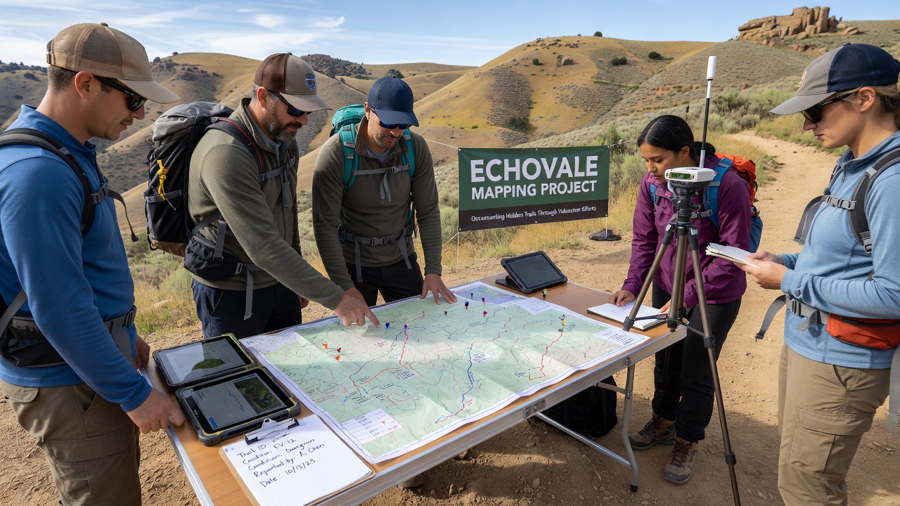
Echovale's mapping project focuses on documenting lesser-known hiking trails in the surrounding foothills, and volunteer teams have led data collection since the effort began in early 2025. Local residents contribute GPS coordinates, trail conditions, and photographic evidence while they traverse routes that do not appear on standard topographic maps, and this work fills gaps in public trail databases maintained by regional land management agencies.
Project organizers coordinate weekly outings through an online scheduling platform, and participants range from experienced hikers familiar with the terrain to newcomers who receive basic training in navigation tools. Data collected includes elevation changes, water source locations, and vegetation density, while teams upload findings to a shared digital repository that updates in real time. Observers note that this approach mirrors citizen science programs used in other regions where community input improves trail accessibility records.
Project Origins and Coordination
The initiative started when local land trust representatives identified discrepancies between existing trail maps and actual footpaths observed during routine patrols, and they reached out to community groups for assistance in verification. Since then, monthly meetings at the Echovale community center allow volunteers to review progress, share route updates, and plan coverage for unsurveyed sections. Coordination relies on partnerships with nearby conservation districts that provide equipment such as handheld GPS units and weatherproof field notebooks.
Training sessions cover proper data recording methods and safety protocols for remote areas, while experienced participants mentor others on identifying sustainable trail markers that minimize environmental impact. Those involved emphasize that consistent documentation helps land managers allocate resources for maintenance and signage, and figures from similar projects show increased trail usage after accurate maps become available to the public.
Methods and Tools in Use
Volunteers employ a combination of smartphone applications and traditional surveying techniques to record trail data, and they cross-reference their findings with satellite imagery provided through open-access government portals. Each team logs start and end points, distance measurements, and notable landmarks, while they also note seasonal variations such as snow cover or spring runoff that affect trail usability. This multi-layered approach ensures records remain reliable across different times of year.
One group that focused on the eastern foothills sector discovered a network of switchback paths connecting to an old logging road, and their submissions prompted further investigation by forestry officials. Data validation occurs through peer review among volunteer teams before final entry into the central database, and this step reduces errors while maintaining high standards for the information released.
October 2026 Developments
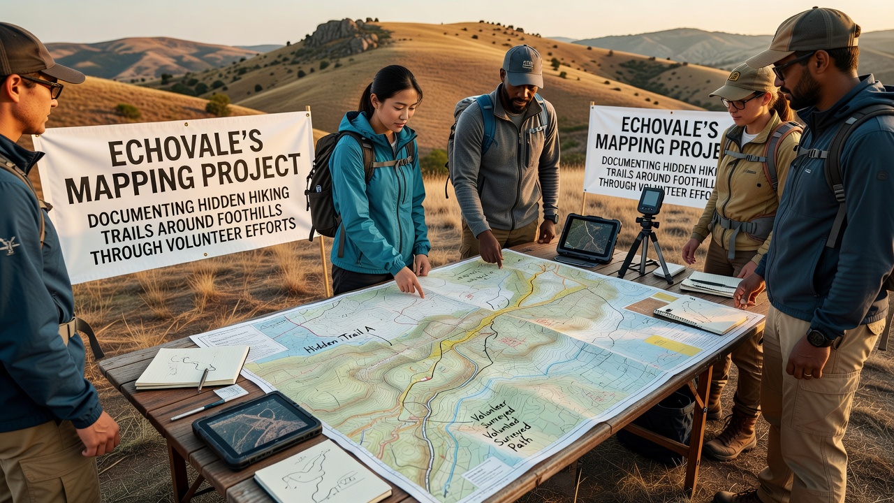
October 2026 marks the release of the first comprehensive digital map compiled from volunteer submissions, and project leaders plan a public launch event at the town library to demonstrate the new resource. Updates include interactive layers showing difficulty ratings and estimated hiking times, while integration with existing regional trail systems allows users to plan extended routes that combine documented paths with established ones. Land management agencies have expressed interest in incorporating these details into official guides for visitor safety.
Additional fieldwork scheduled for the month targets higher elevation segments that remain inaccessible during summer months due to heat, and volunteer numbers have increased as awareness spreads through local schools and outdoor clubs. Records indicate over 150 individual trails logged to date, with emphasis on routes that provide alternative access points away from heavily trafficked areas.
Community Impact and Data Sharing
Residents who use the compiled maps report improved navigation during recreational outings, and emergency services have begun referencing the database when responding to incidents in remote foothills zones. Schools incorporate the project into environmental education programs, where students learn about geographic information systems while contributing to ongoing surveys. Data sharing extends to neighboring communities that face similar mapping challenges, and collaborative workshops allow exchange of best practices for volunteer coordination.
According to reports from the U.S. Geological Survey's citizen mapping initiatives, volunteer-collected trail data has enhanced public land records in multiple states, and similar outcomes appear in Echovale's efforts. Partnerships with academic researchers from institutions in Canada have also introduced standardized protocols for biodiversity observations along the trails, expanding the project's scope beyond basic route mapping.
Conclusion
Echovale's mapping project continues to grow through sustained volunteer participation, and the October 2026 map release represents a milestone in making foothills trails more accessible while supporting conservation goals. Ongoing data collection ensures records stay current as conditions change, and community involvement remains central to the initiative's expansion into adjacent areas. Those tracking the project observe steady progress toward a complete inventory that benefits hikers, land managers, and researchers alike.